Satellite Mapping Uncovers Antarctica's Subglacial Secrets
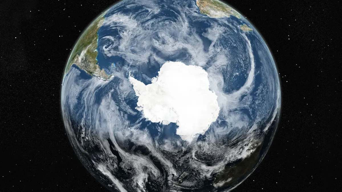
A satellite-driven map of Antarctica's hidden subglacial landscape has exposed new geologic features, offering critical insights into how the continent's ice may influence global sea levels.
Researchers led by Helen Ockenden created the most detailed map of Antarctica's subglacial topography using Ice Flow Perturbation Analysis (IFPA) and satellite data.
The method infers subglacial topography by analyzing perturbations in ice flow patterns observed at the surface, combined with ice thickness data from geophysical surveys.
"Our IFPA map of Antarctica’s subglacial landscape reveals that an enormous level of detail about the subglacial topography of Antarctica can be inverted from satellite observations of the ice surface, especially when combined with ice thickness observations from geophysical surveys."
The resulting map identifies previously unknown geologic features, including steep-sided channels and U-shaped valleys.
However, the resolution of the map captures features at the mesoscale (2-30 km), leaving smaller landforms unmapped.
This scale limitation means that ice flow models relying on the dataset must account for unresolved subglacial processes, particularly in regions where fine-scale topography could influence ice dynamics.
The study notes that the upcoming International Polar Year 2031-2033 presents a timely opportunity for international efforts to integrate expansive observation and modeling approaches.
Published in Science on Jan. 15, 2024, the work underscores the value of satellite data in advancing understanding of polar systems while highlighting the need for complementary high-resolution geophysical surveys.